
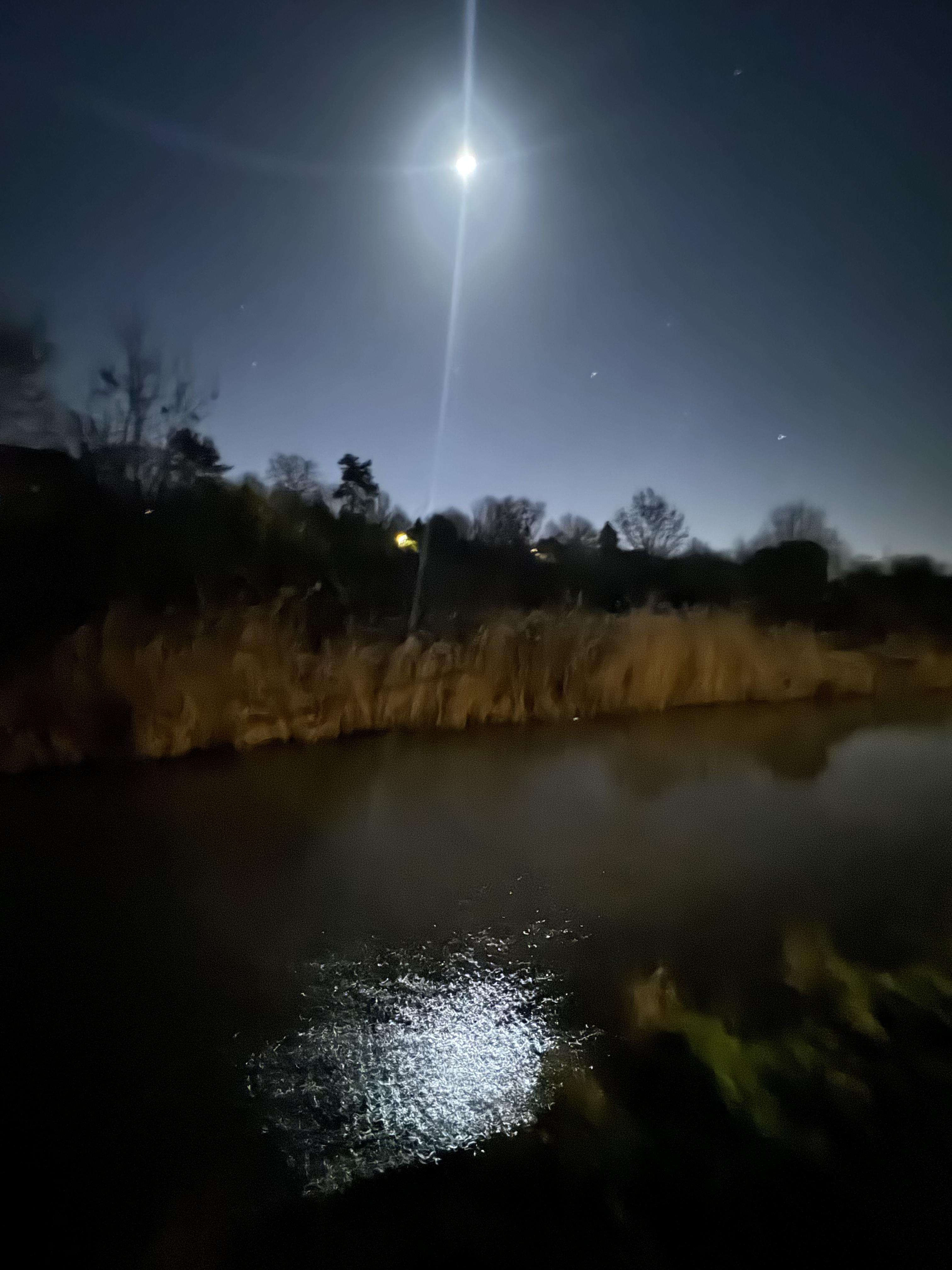
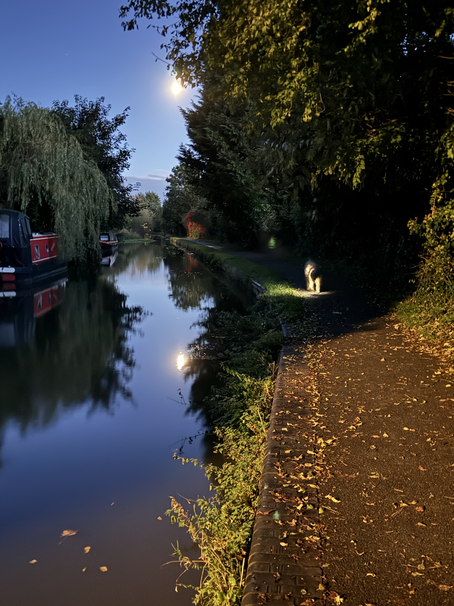
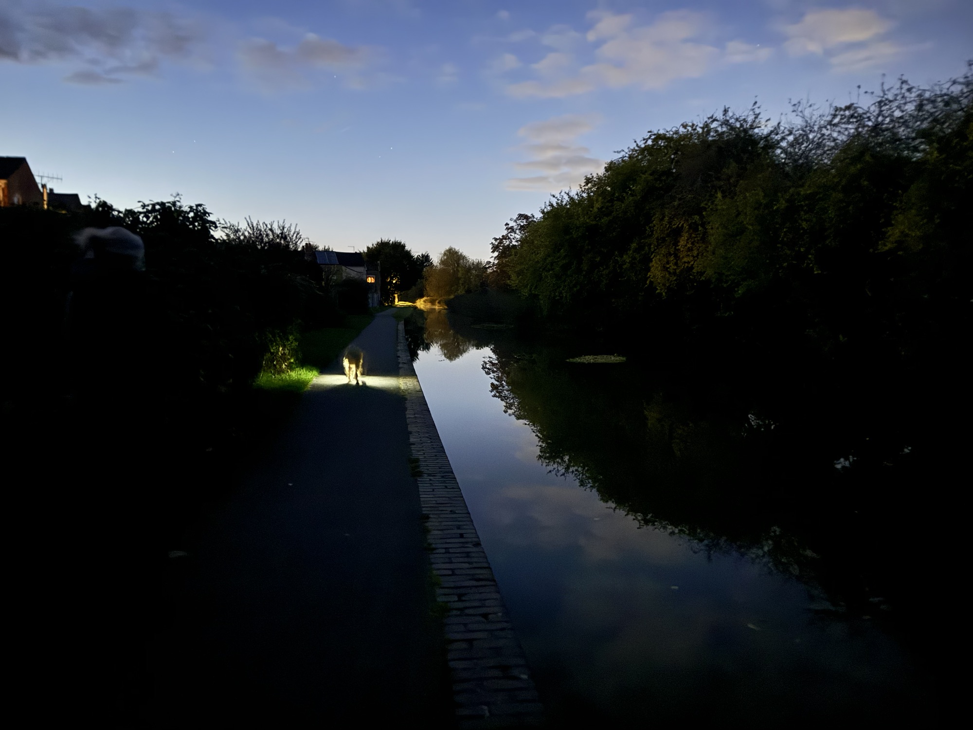
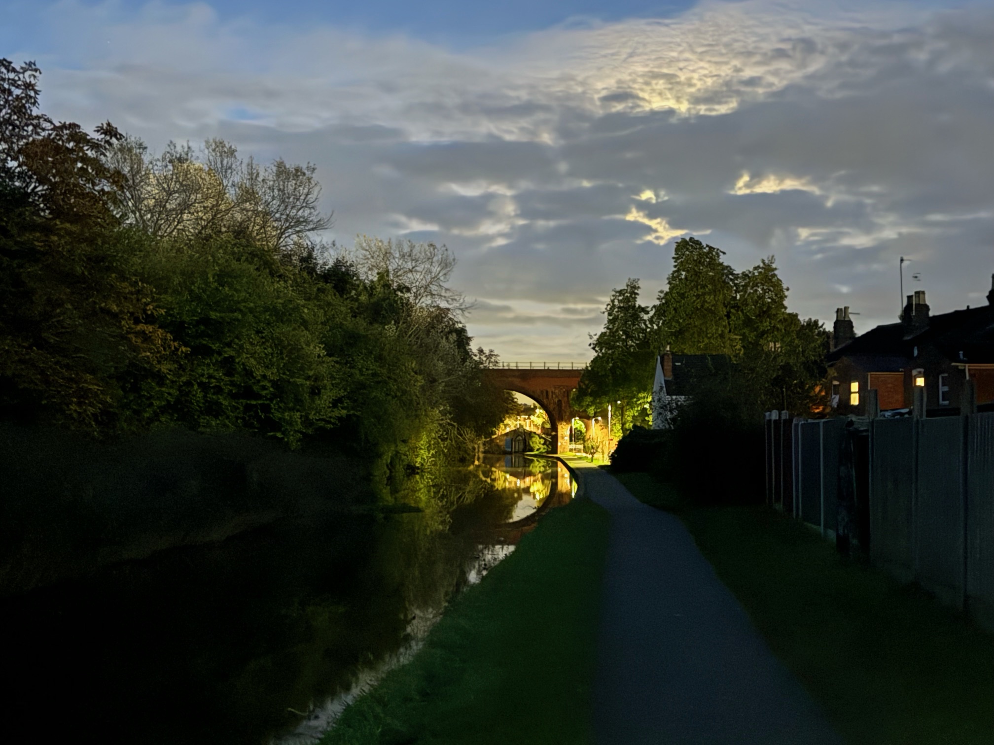
Seeing and capturing this last night brought to mind how ancestors saw the bank up to the bishop’s house. Later, in the 19th century, they saw the moon reflected off the canal. Before that, they experienced the wetlands at the lower end of the farmland just outside the city walls.
If you have not been to the Bramblewood project or the allotments, please take a chance.


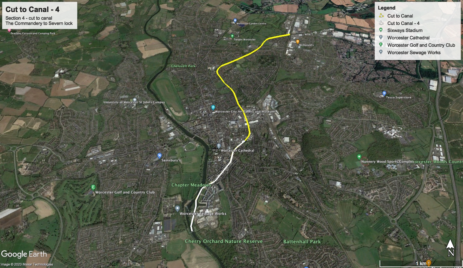
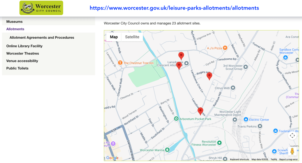
Have a look from Lansdowne Crescent and you will see the landscape and its dips as shown in this Cole-Roper map.

Allotments
- Worcester (city) Allotments (Facebook)
- Worcester City Allotments (WCC)
Needs Updating
AI Generated:
Consider adding context to the historical references, which may help readers understand their significance.
Enhance descriptive details about the Bramblewood project and the allotments to engage readers’ interest more deeply.
Incorporate personal reflections or experiences related to the landscapes mentioned to create a stronger connection.
Clarify the relevance of the Cole-Roper map to the overall narrative; linking it more explicitly could improve cohesion.
Make sure image descriptions are provided for accessibility and to give context to readers who may not view the images.
