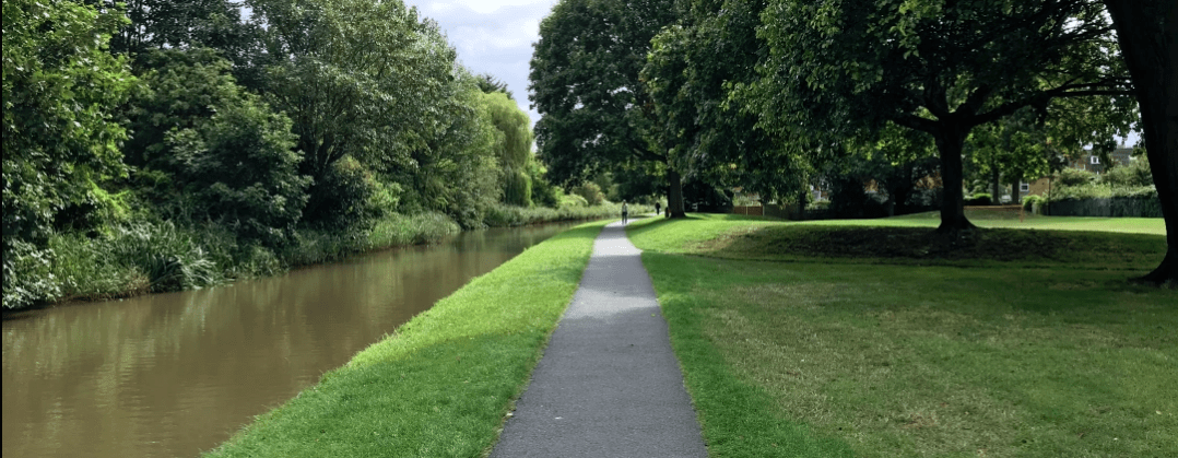
The canal has been a life-line for Worcester since around 1870. Though it was only used in full action for about 40 years, it has been an industrial highway linking the exports from Worcester’s cottage industries to the wider world via Birmingham and Bristol.
Find out more about your stretch of the canal and send us photos, stories and anecdotes and if you know anyone that has lived around the canal for a few generations, we can build a picture that marks the areas linked by the canal and the archaeology of the landscapes it cuts through.
How Worcester was formed and developed by ancient people, politics and the place.
Worcester has a special the place in the landscape and over milenium, the landscape and usage was changing so people of Worcester had to change with it. The canal may seem like just a stretch of water that boats shipped goods along, but it is so much more than that as you will descover as you journey just the stretch we are looking at.
There are marvelous resources available to help you discover more about the area around the canal, the nature, the environment and it was influenced by, and influenced, history. Records at The Hive, the Know Your Place website that leads to Know Your Place Bristol (the Bristol University project page), Historic England records and loads more. We have shared some on the resources page.
We are working with four areas of interest that we want you to tell us more about, but we will give you a head-start.


Roman war ships came up the Severn from Bristol and couldn’t go any further so landed at what is now Worcester Quay.
Anglo-Saxon princess Æthelflæd named the town a burr or protected settlement.
Civil war at the commandery.
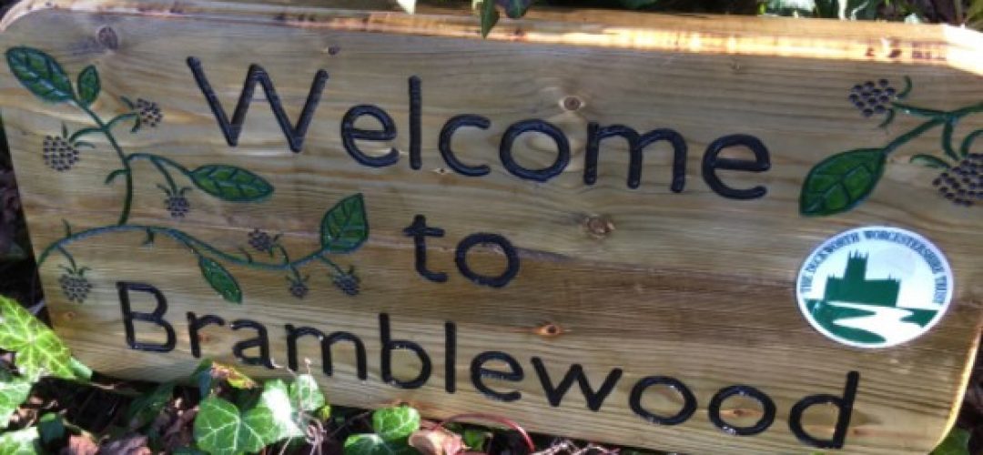
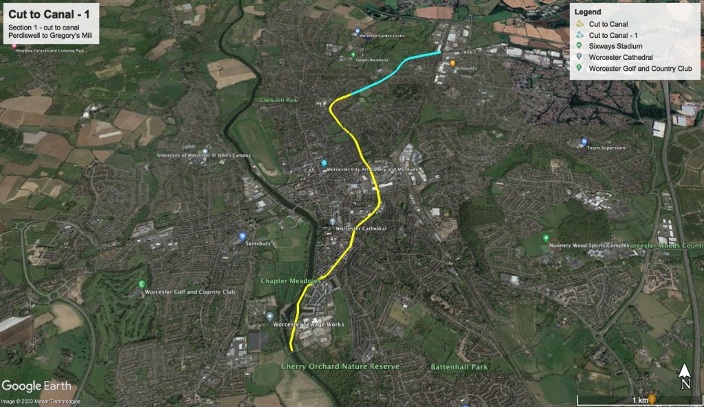
This section goes past the Oculus Bridge and Lansdowne Road bridge – so includes The Arboretum – to just past Flagg Fen.
The Arboretum was created as part of the lands for Sansome Hall.
The Aroretum was to be the place where the Worcester Porcelein Works had a slip factory.
Gregory’s Mill Lock – past the brickworks, WWi munitions factory that was built by Rowntrees the all replaced by the football ground and more recently flats.
The east side of the canal is where there was a massive clay pit …ideal for the brickworks.
Gregory’s Mill Lock (top lock) to the Perdiswell bridge and beyond (Devil’s Archway).
Just to the west of the land was a Neolithic settlement.
The land lent itself to the lifestyle as it was close to the water supply they needed.
The men that worked to dig the canal in the late 18th century onwards, were generally itinerant workers that were often working 14 hour days and were not permitted into local hostels (or pubs). Many used the planks of wood that they would use to layer the clay canal lining as bench beds pushing them into the canal lining like a supportless shelf unit.
These mainly itinerant workers often used to work other jobs when not working on the canal such as fruit and vegetable pickers in places like Evesham market gardening growing areas. They would hardly ever get the chance to go ‘home’ (wherever that might be) as they were working all hours to earn a living.
Canal-boat workers would use horses to tow the barges along – hence the name “tow-path”. However, if a horse was old, inferm or could not pull hard enough they would certainly be whipped and sometimes simply unleashed and pushed into the canal …
A huge amount of money was invested by the Birmingham canal-building consorteum in order to help grease the palms of the Worcester consorteum who found other ways of using the money they were given.
The canal, once eventally completed, was only in operation for around 40 years.
The canal took the route it did in order to pass by the cottage industries in warehouses close to the Foregtate (some of them are still visible and used either side of the Foregate station and back onto the Arboretum in Southfield Street).
Southfield street is where there was a municians factory during the war and the parade ground for the local army cadets is now a car-park.
If you would like to take part and add to the information with an “Oral History” then please complete this form and we will be in touch shortly.
An “Oral History” is an interview where recollections are recorded, transcripted (converted into text) and the recording and transcript used to add to the heritage and history of the area. So if you have recollections of living alongside the canal and any anecdotes you, your family member or someone you know might want to add. This can include photographs and family album entries where the area or people are in them but will only be used with their written permission.